COLLINS PRIMARY ATLAS-COLLINS MAPS
Kshs 1,520.00
Kshs Loading...
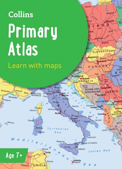
The must-have atlas for children aged 7-11 Collins Primary Atlas is a great introduction to mapping of the UK, Europe and all major regions of the world. It supports the Key Stage 2 curriculum and is suitable for children aged 7-11 years.
This new, fully up-to-date edition includes information on map reading skills, the meaning of scale and measuring distances, and is ideal for classroom use or home learning. Reference maps:• Informative, politically coloured and easy-to-read• National capitals and major cities are clearly labelled• Maps are supported with national flags and basic national statisticsContinental maps:• Linked to regional mapping• Supported by a selection of aerial and terrestrial photographs• Relief maps show layer colouring and highlight major physical featuresThis atlas is also available in a Kindle format. The next atlas in the series is the Collins School Atlas, suitable for ages 11+ and KS3.
Format: Paperback / softback 68 pages
Classifications: For National Curriculum Key Stage 2, Designed / suitable for Scottish examinations & grades, Educational: Geography, Atlases & maps (Children’s/Teenage)
ISBN : 9780008485948
Published : 3 Mar 2022
Author : Collins Maps
Size : 225 x 311 x 13 (mm)
Weight : N/A
Out of stock