COLLINS HANDY ROAD ATLAS SCOTLAND A5 PAPERBACK- C
Kshs 0.00
Kshs Loading...
Discover new places with handy road atlases from Collins.
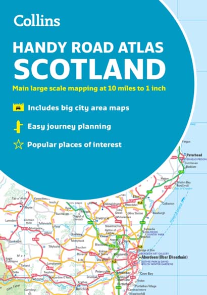
Your ideal companion for navigating around Scotland. It has extremely clear, route planning maps of Scotland, detailed city plans of the major cities and towns and fits neatly into your glovebox, briefcase or bag. Main featuresClear, attractive route planning maps of the whole of Scotland supported by comprehensive, fully indexed city centre street maps of Aberdeen, Dundee, Edinburgh, Glasgow, Inverness and Perth.
Scale of main maps: 1:625,000 (9.9 miles to 1 inch).
Also includes• Places of tourist interest are highlighted• Attractive layer colouring showing land height• Road network fully classified and colour coded• Detailed street mapping of Edinburgh, including the Royal Mile with all its attractions clearly marked, Leith and Holyrood Park• Detailed street mapping of Glasgow, including the West End, city centre and M74 extension• Detailed street mapping of Aberdeen, including the bypass• Street maps, with indexes, of Dundee, Inverness and Perth city centres• Handy distance calculator chart highlighting distances between the major towns• Administrative areas map showing council areas• Transport connections section listing all the airports and details of all vehicle ferries into and within ScotlandArea of coverageCovers the whole of Scotland and part of northern England, extending down to Kendal and Scarborough in the south.
Format: Paperback / softback 72 pages, Index
Classifications: Scotland, World atlases / world maps, Cartography, map-making & projections, Travel & holiday guides, Road atlases & maps
ISBN : 9780008447878
Published : 3 Feb 2022
Author : Collins Maps
Size : 149 x 208 x 12 (mm)
Weight : N/A
1 in stock