Availability: In Stock
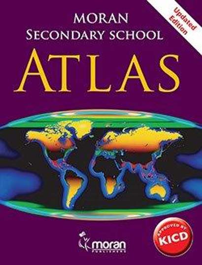
Secondary School Atlas Kenya 2e
SKU: 9789966340849
Kshs 1,183.00
Kshs Loading...
The atlas contains the following new features among others;
- All maps are drawn to scale catographically.
- Have current statistical data including the most recent census data.
- Contain incredible range of stimulating maps.
- Specially designed to meet the needs of the Secondary School Syllabus.
- Incorporates cross-cutting issues such as HIV and AIDS, climate, people and population.
- Have clear and detailed layout that is visually appealing.
- Display photographs and satellite imagery of each global region and area under study.
- Can be used for home reference by those studying Geography and related subjects at secondary and tertiary level.
- Integration of maps with other geographical data such as fact files, cross-sections, graphs, tables, photographs, satellite images, topographic maps and historical data.
- Includes a double-page spread or broadsheet approach, with interrelated data focusing on a particular region or theme colour bands that link the content to regions and global statistics.
- Have a cross-section for the countries and each continent to show the nature and shape of the land surface.
- Each continent is introduced in a double-page spread with political and physical maps integrated with a fact file section.
- Provides cross-section maps and graphs for each continent.
- Global statistics are consolidated in one section at the end.
- A linear scale, representative fraction scale and map projections are provided for each map.
- A key, scale, title and compass are provided for all maps.
- Provides regional comparison climate graphs for different regions and locations.
Format: Paperback / softback 136 pages
Classifications: Atlases & maps (Children’s/Teenage)
ISBN : 9789966340849
Published : N/A
Author : Desmond Buchanan, Enos O. Oyaya
Language : English
Main Material : Paperback, Paperback softback
Publisher : Macmillan Education, Moran (E.A.) Publishers Limited
Size : 1 x 1 (mm)
Weight : 462g
24 in stock


